I had previously travelled through this area in Union and Clinton Counties but did not have the opportunity to visit all of the state parks. I routed myself through this area on my way to western Pennsylvania. My first stop was Sand Bridge State Park, the smallest state park, which occupies three acres. It is used for picnicking and fishing.
I next made a quick stop at the lake and dam overlook at Raymond B. Winter State Park on my way to McCalls Dam State Park. I had previously been to RB Winter and hope to return to do some camping. This park has a wide variety of activities including hiking, fishing, swimming, camping and mountain biking.
The nearby McCalls Dam State Park is also one of the state’s smallest, consisting of a picnic area along with access to hiking, hunting and fishing in Bald Eagle State Forest. I first stopped at a scenic overlook on McCalls Dam Road on my way to the park. Note that even the state can’t decide if there is an “s” in the name of this park or not.
The last stop in this cluster of parks was Ravensburg State Park. It lies in a narrow gorge carved by Rauchtown Run. It was a popular spot with local Amish couples out for a drive on this Sunday afternoon. This lovely spot provides camping, picnicking, hiking, hunting and fishing opportunities. I managed to miss the entrance into a section of the park, but this is a location which will be easy for me to get back to.
Before we head to western Pennsylvania, let’s take a look at some shots from a nice Spring day in Lancaster County. It was a good day for photography, the sun was shining and the cows seemed happy.
A few weeks ago, I took a long awaited trip to areas of Western Pennsylvania that I have not been to in quite a while. Blog posts from this trip should be online in upcoming weeks.
As part of my recent experimentation of getting back into film photography, I took out my Canon A2E for the first time to shoot some black and white at Evansburg State Park. Here are some of the results.
A day out in the rural areas of Lancaster County will provide many encounters with horse drawn buggies, whether in motion or stationery. Sundays tend to be particularly busy, with people going to church or visiting neighbors.
A small child looks on …Traffic Gap with a miniature of the Clock Tower (full size below).People who drive buggies need to shop too. Stores in the area often have hitches, or even simple open sheds, for horse parking.
A recent drive to visit some covered bridges in the Lititz and Ephrata area led me through some lovely countryside in northern Lancaster County. Here is a look a look at some of the farms that I saw and other views.
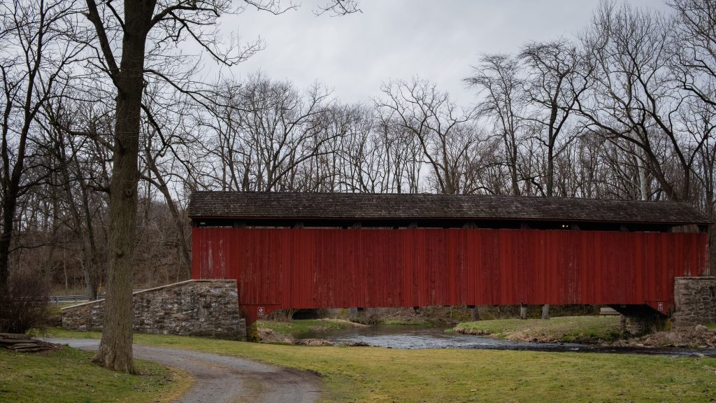
Today’s visit to Lancaster County includes some covered bridged and nearby views. First up is Weaver’s Mill Covered Bridge, which spans the Conestoga River. The 85-foot-long (26 m), 15-foot-wide (4.6 m) bridge was built in 1878 by B. C. Carter and J. F. Stauffer. It is also known as Isaac Shearer’s Mill Bridge. The bridge has a single span, wooden, double Burr arch trusses design with the addition of steel hanger rods. It is painted red, the traditional color of Lancaster County covered bridges, on both the inside and outside. Both approaches to the bridge are painted in the traditional white color. It was listed on the National Register of Historic Places in 1980.
Weaver’s Mill Covered Bridge
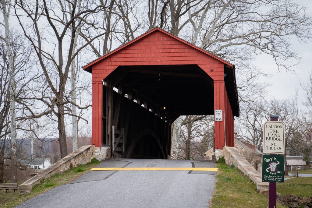
The Bitzer’s Mill Covered Bridge is a covered bridge that is also on the Conestoga River. It is the oldest bridge in the county still in use. A county-owned and maintained bridge, it is also called Martin’s Mill Bridge, Eberly’s Cider Mill Covered Bridge, and Fiand’s/Fiantz’s Covered Bridge.
The bridge has a single span, wooden, double Burr arch trusses design with the addition of steel hanger rods. The deck is made from oak planks. Added later, secondary steel I-beams support the bridge from underneath. The bridge is currently unpainted. It was formerly painted red on the outside, and the inside of the bridge was not painted. Both approaches to the bridge were painted white. In July 2006, the bridge sustained some damage to its sides including some missing or broken panels. The bridge was added to the National Register of Historic Places in 1980.
The bridge was built in 1846 by George Fink and Sam Reamsnyder at a cost of $1,115. They used a single span, wooden, double Burr arch truss construction. The bridge has historically been referred to by a number of names that reflected the various mill owners. In 1962, it was proposed to replace the bridge with a concrete span, but the plan was discontinued after much public outcry.
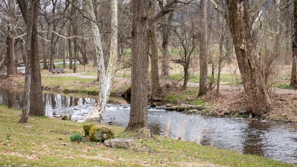
The Conestoga RiverAn impressive corn crib.
The Keller’s Mill Covered Bridge is a covered bridge that spans Cocalico Creek. It is also sometimes known as Guy Bard Covered Bridge (after a local jurist) and Rettew’s Covered Bridge (after the person that Rettew’s Road is named). Due to heavy road traffic on the aging, one-lane bridge, construction on a new steel and concrete bridge to bypass the covered bridge occurred in the summer of 2006. The bridge was disassembled and reassembled a few miles downstream to replace an existing one lane bridge. It was located at 40°10′11.4″N 76°12′16.8″W (40.16983, −76.20467) before being disassembled.
Keller’s Mill Covered Bridge was originally built by Elias McMellen in 1873 at a cost of US$2,075. After being swept away in flooding, the bridge was rebuilt in 1891, again by McMellen. It stayed there until it was disassembled and moved in 2006. The bridge was reconstructed in 2009. The bridge was reopened on Middle Creek Road in December, 2010. Keller’s Mill Covered Bridge has a single span, wooden, double Burr arch trusses design with the addition of steel hanger rods. The deck is made from oak planks. The bridge is the only all white bridge in the county, with no red. In fact, just about all covered bridges were whitewashed both inside and out. It is the only bridge to have survived the transition from whitewashing to the red color commonly used in barns throughout the county. The bridge is not painted on the inside.
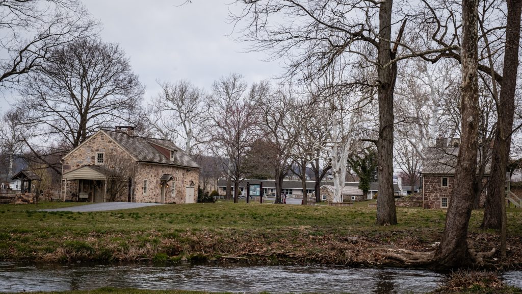
The Ephrata Cloister or Ephrata Community was a religious community, established in 1732 by Johann Conrad Beissel at Ephrata, Lancaster County. The grounds of the community are now owned by the Commonwealth of Pennsylvania and are administered by the Pennsylvania Historical and Museum Commission. The Cloister’s website can be found at https://ephratacloister.org and provides the following information:
Conrad Beissel, Ephrata’s founder, came to the site in 1732 seeking to live as a hermit following his own religious ideas. He believed earthly life should be spent preparing to achieve a spiritual union with God at the Second Coming he felt would soon occur. By the early 1750s, nearly 80 celibate Brothers and Sisters were housed in impressive Germanic log, stone, and half-timbered buildings. At the same time, nearly 200 family members known as Householders, occupied nearby homes and farms.
Celibate members followed a life of work balanced with hours of private prayer. Wearing white robes, they adopted sparse diets, and slept little, all in an effort to provide discipline as they prepared for an anticipated heavenly existence. Labors included farming, papermaking, carpentry, milling, and textile production. The Cloister was known for the German calligraphic art of Frakturschriften, created in a distinctive style considered the first of this folk art produced in America, self-composed a cappella music written using Beissel’s rules for four-part harmony (with over one-thousand original compositions), and an ambitious printing establishment creating works for the use of the community and neighbors, including the translation and publication of the 1500 page Martyrs Mirror for the Mennonites, the largest book printed in colonial America.
The Society declined after the death of the charismatic Beissel in 1768. The last celibate member died in 1813 and the next year the remaining Householders incorporated into the German Seventh Day Baptist Church. Members continued to live and worship in the Cloister buildings until the close of the Church in 1934. Marie Kachel Bucher, the last surviving resident of the Ephrata Cloister, died on July 27, 2008, at the age of 98.
Here is a look at the exterior of the buildings. There was an event going on that Day called “Charter Day” which was wrapping up as I was arriving in late afternoon.
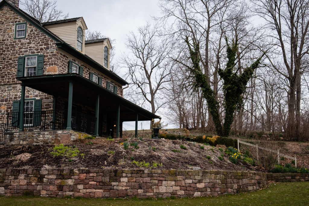
It’s not that often that one comes across a covered bridge with an associated historic site. Poole Forge, in Eastern Lancaster County, is just such a place. The 26-acre site also has a preserved historic Ironmaster’s mansion, children’s playground, picnic pavilion, ball field, Nature Trail, Riparian Buffers, wildflower meadows, and many beautiful gardens along the Conestoga River. It is a national historic district and was listed on the National Register of Historic Places in 1993.
Poole Forge was part of the iron industry in Lancaster and nearby counties. James Old, a Welshman and iron master, purchased the property in 1775. He established and operated a forge here for twenty years. The pig iron was obtained from nearby furnaces such as Hopewell, Joanna, Elizabeth, and Cornwall. Poole Forge refined the iron, then sold it to blacksmiths, or sent it to markets in Philadelphia, where it was used to make armaments for the Revolutionary War. In 1795, he sold the forge to his son, Davis Old, and over the next half century, it continued operation through many changes of hands. In 1852, iron production was ended. The covered bridge dates to 1859.
First up are views of the covered bridge:
There are multiple fine Federal style buildings at this site.
Valley Forge is one of my most photographed areas. I just can’t help myself. The first location is Lord Stirling’s Quarters. I have long wanted to photograph these buildings but have not been able until recently. Unfortunately, like most park locations, these buildings are not open to the public and not in good repair. Valley Forge is sadly underfunded, like most of our national park system.
The next area is known as the Artillery Park. I bird and photograph around here a lot.
Finally, this foot bridge is near the top of Mount Joy