I recently started watching the “Franklin” TV series on Apple TV+ which mentions the injury to the Marquis de Lafayette during the Battle of Brandywine. Coincidentally, I had visited part of the battlefield site a few weeks before.
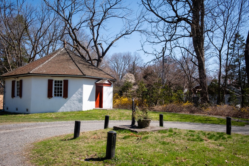
The Brandywine Battlefield Historic Site is a National Historical Landmark which is owned and operated by the Pennsylvania Historical and Museum Commission, on 52 acres (210,000 m2), near Chadds Ford, Delaware County. This area is a partial site of the Battle of Brandywine, which was fought on September 11, 1777. The battle was a decisive victory for the British and cleared a path directly to the capital in Philadelphia.
Brandywine Battlefield Park became a Pennsylvania State Park in 1949 and a National Historic Landmark in 1961. Although the battle area covered more than ten square miles, or 35,000 acres, the modern park only covers the fifty acres that served primarily as the Continental encampment during the two days prior to the battle. To the north, another part of the battlefield is maintained by Birmingham Township, Chester County as “Battlefield of the Brandywine Park,” or “Sandy Hollow Heritage Park.” Much of the afternoon’s fighting took place between Birmingham Friends Meetinghouse and the William Brinton 1704 House near Dilworthtown. A subsequent engagement occurred during the Battle of Paoli. The Paoli Battlefield Historical Park and Paoli Memorial Grounds are located in Malvern.
The site is operated under an agreement between the PHMC and Chadds Ford Township with the Brandywine Battlefield Associates, or “Friends of Brandywine Battlefield” who now operate the site with staff and volunteers. If you wish to visit this site, please check hours before going. I have frequently passed by the gates here, and they have been closed. This was a brief visit, as I was stopping by after a visit to the Brandywine River Museum, and I plan to return in the future.